Survey of London: Volume 20, St Martin-in-The-Fields, Pt III: Trafalgar Square and Neighbourhood. Originally published by London County Council, London, 1940.
This free content was digitised by double rekeying. All rights reserved.
'Plate 100: Hemmings Row', in Survey of London: Volume 20, St Martin-in-The-Fields, Pt III: Trafalgar Square and Neighbourhood, ed. G H Gater, F R Hiorns (London, 1940), British History Online https://prod.british-history.ac.uk/survey-london/vol20/pt3/plate-100 [accessed 16 April 2025].
'Plate 100: Hemmings Row', in Survey of London: Volume 20, St Martin-in-The-Fields, Pt III: Trafalgar Square and Neighbourhood. Edited by G H Gater, F R Hiorns (London, 1940), British History Online, accessed April 16, 2025, https://prod.british-history.ac.uk/survey-london/vol20/pt3/plate-100.
"Plate 100: Hemmings Row". Survey of London: Volume 20, St Martin-in-The-Fields, Pt III: Trafalgar Square and Neighbourhood. Ed. G H Gater, F R Hiorns (London, 1940), British History Online. Web. 16 April 2025. https://prod.british-history.ac.uk/survey-london/vol20/pt3/plate-100.
In this section
HEMMINGS ROW (pp. 112–4)
(a) CORNER OF CASTLE STREET circa 1850
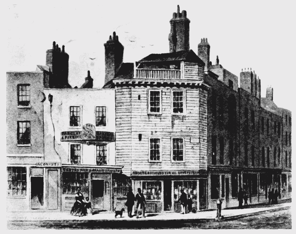
Corner of Castle Street
(b) LOOKING TOWARDS CHANDOS STREET IN 1873
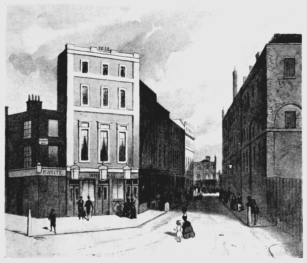
Looking towards Chandos Street in 1873