Survey of London: Volume 19, the Parish of St Pancras Part 2: Old St Pancras and Kentish Town. Originally published by London County Council, London, 1938.
This free content was digitised by double rekeying. All rights reserved.
'Plate 48: Marylebone Park, 1796', in Survey of London: Volume 19, the Parish of St Pancras Part 2: Old St Pancras and Kentish Town, ed. Percy Lovell, William McB. Marcham (London, 1938), British History Online https://prod.british-history.ac.uk/survey-london/vol19/pt2/plate-48 [accessed 15 April 2025].
'Plate 48: Marylebone Park, 1796', in Survey of London: Volume 19, the Parish of St Pancras Part 2: Old St Pancras and Kentish Town. Edited by Percy Lovell, William McB. Marcham (London, 1938), British History Online, accessed April 15, 2025, https://prod.british-history.ac.uk/survey-london/vol19/pt2/plate-48.
"Plate 48: Marylebone Park, 1796". Survey of London: Volume 19, the Parish of St Pancras Part 2: Old St Pancras and Kentish Town. Ed. Percy Lovell, William McB. Marcham (London, 1938), British History Online. Web. 15 April 2025. https://prod.british-history.ac.uk/survey-london/vol19/pt2/plate-48.
In this section
(a) VIEW FROM WELLINGS FARM (MARYLEBONE PARK) LOOKING TOWARDS CAMDEN TOWN, 1796
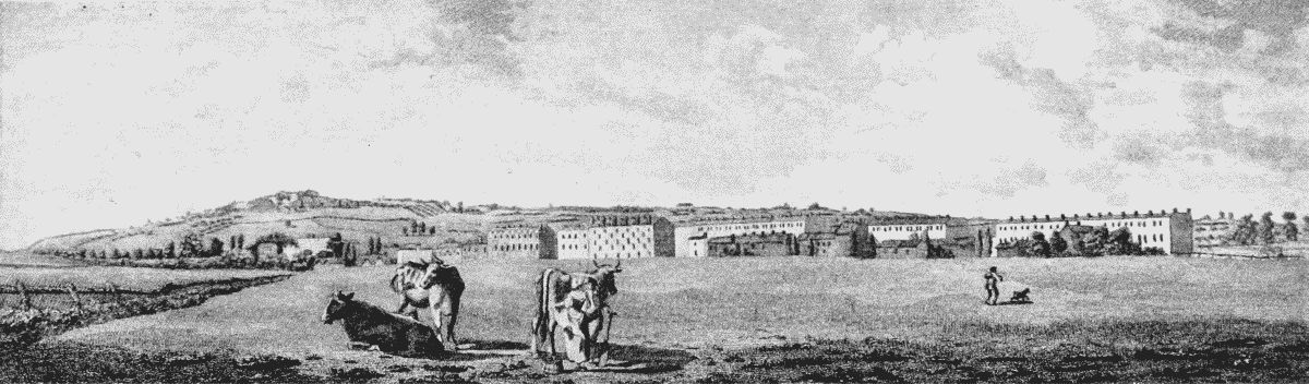
View from Welling's (i.e. Willan's) Farm towards Camden Town
(b) THE SAME LOOKING TOWARDS PRIMROSE HILL, 1794 (p. 96)
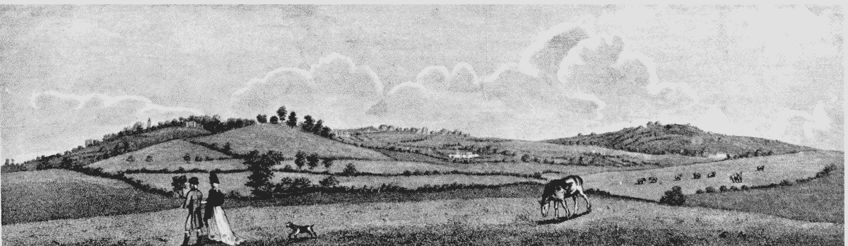
towards Primrose Hill