Survey of London: Volume 19, the Parish of St Pancras Part 2: Old St Pancras and Kentish Town. Originally published by London County Council, London, 1938.
This free content was digitised by double rekeying. All rights reserved.
'Plate 26: Kentish Town Road', in Survey of London: Volume 19, the Parish of St Pancras Part 2: Old St Pancras and Kentish Town, ed. Percy Lovell, William McB. Marcham (London, 1938), British History Online https://prod.british-history.ac.uk/survey-london/vol19/pt2/plate-26 [accessed 15 April 2025].
'Plate 26: Kentish Town Road', in Survey of London: Volume 19, the Parish of St Pancras Part 2: Old St Pancras and Kentish Town. Edited by Percy Lovell, William McB. Marcham (London, 1938), British History Online, accessed April 15, 2025, https://prod.british-history.ac.uk/survey-london/vol19/pt2/plate-26.
"Plate 26: Kentish Town Road". Survey of London: Volume 19, the Parish of St Pancras Part 2: Old St Pancras and Kentish Town. Ed. Percy Lovell, William McB. Marcham (London, 1938), British History Online. Web. 15 April 2025. https://prod.british-history.ac.uk/survey-london/vol19/pt2/plate-26.
In this section
(a) KENTISH TOWN ROAD, Nos. 52 to 64
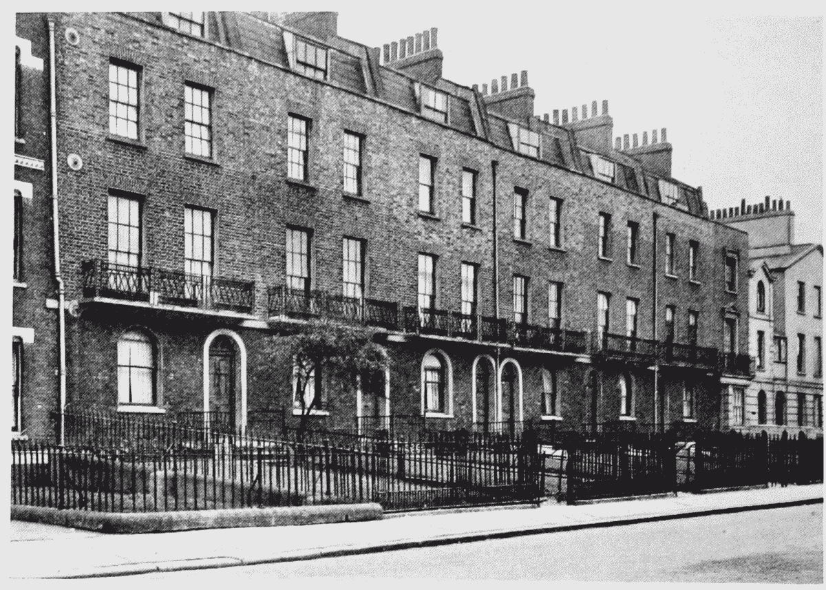
Nos. 52–64, Kentish Town Road
(b) CORNER OF JEFFREYS STREET AND KENTISH TOWN ROAD (p. 49)
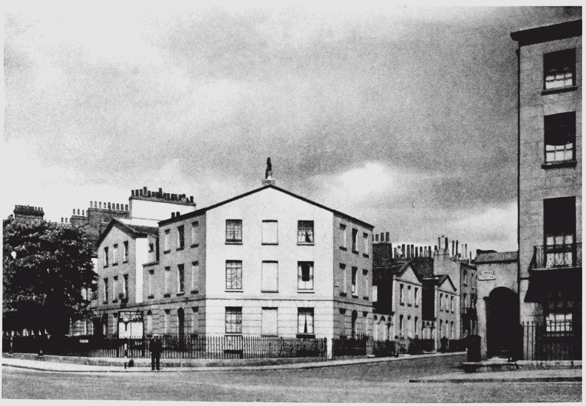
Junction of Kentish Town Road and Jeffreys Street