Survey of London: Volume 18, St Martin-in-The-Fields II: the Strand. Originally published by London County Council, London, 1937.
This free content was digitised by double rekeying. All rights reserved.
'Plate 1: Views of the area, from 1593 and before 1544', in Survey of London: Volume 18, St Martin-in-The-Fields II: the Strand, ed. G H Gater, E P Wheeler (London, 1937), British History Online https://prod.british-history.ac.uk/survey-london/vol18/pt2/plate-1 [accessed 28 April 2025].
'Plate 1: Views of the area, from 1593 and before 1544', in Survey of London: Volume 18, St Martin-in-The-Fields II: the Strand. Edited by G H Gater, E P Wheeler (London, 1937), British History Online, accessed April 28, 2025, https://prod.british-history.ac.uk/survey-london/vol18/pt2/plate-1.
"Plate 1: Views of the area, from 1593 and before 1544". Survey of London: Volume 18, St Martin-in-The-Fields II: the Strand. Ed. G H Gater, E P Wheeler (London, 1937), British History Online. Web. 28 April 2025. https://prod.british-history.ac.uk/survey-london/vol18/pt2/plate-1.
In this section
(a) PART OF WYNGAERDE'S VIEW (BEFORE 1544) (p. 86)

Part of Wyngaerde's view of London before 1544
(b) PART OF NORDEN'S MAP VIEW OF WESTMINSTER (1593) (p. 55)
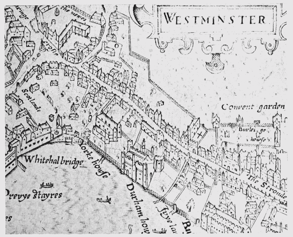
Part of Norden's map view of Westminster (1593)