Survey of London: Volume 16, St Martin-in-The-Fields I: Charing Cross. Originally published by London County Council, London, 1935.
This free content was digitised by double rekeying. All rights reserved.
'Plate 94: Carrington House in 1886, elevations', in Survey of London: Volume 16, St Martin-in-The-Fields I: Charing Cross, ed. G H Gater, E P Wheeler (London, 1935), British History Online https://prod.british-history.ac.uk/survey-london/vol16/pt1/plate-94 [accessed 24 April 2025].
'Plate 94: Carrington House in 1886, elevations', in Survey of London: Volume 16, St Martin-in-The-Fields I: Charing Cross. Edited by G H Gater, E P Wheeler (London, 1935), British History Online, accessed April 24, 2025, https://prod.british-history.ac.uk/survey-london/vol16/pt1/plate-94.
"Plate 94: Carrington House in 1886, elevations". Survey of London: Volume 16, St Martin-in-The-Fields I: Charing Cross. Ed. G H Gater, E P Wheeler (London, 1935), British History Online. Web. 24 April 2025. https://prod.british-history.ac.uk/survey-london/vol16/pt1/plate-94.
In this section
CARRINGTON HOUSE (1886).
(a) ELEVATION TO WHITEHALL;
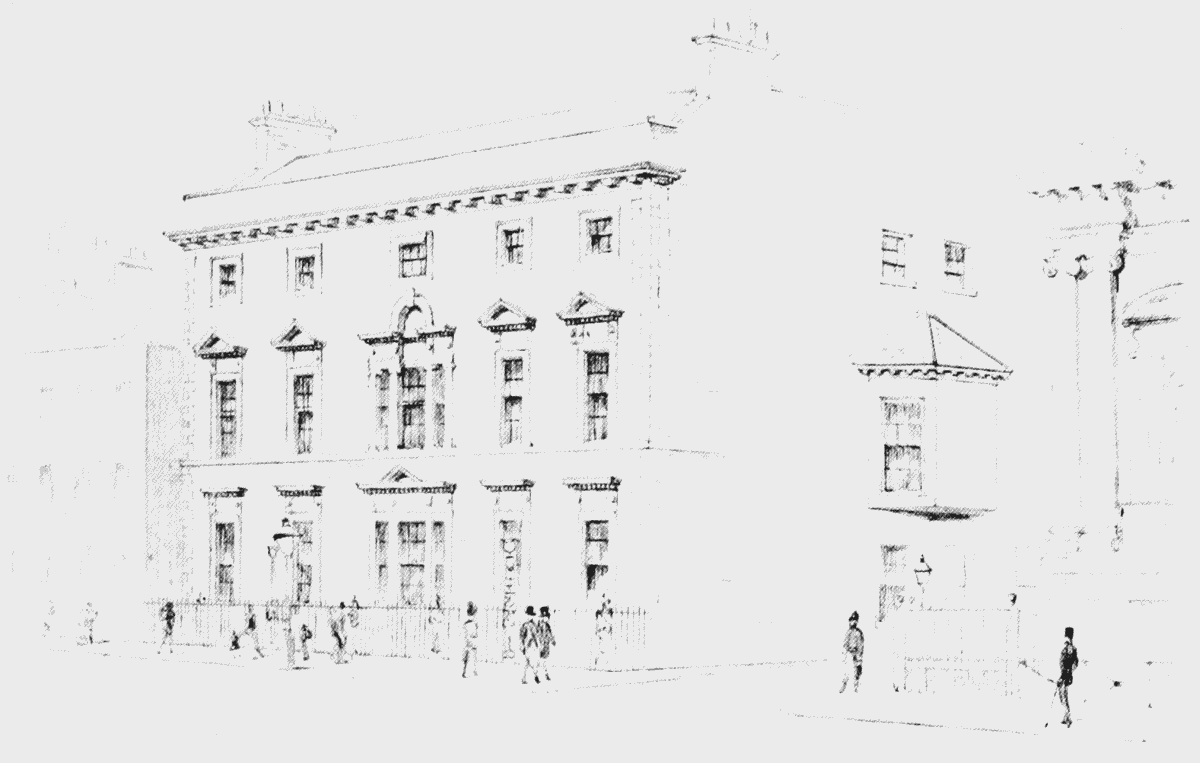
elevation to Whitehall
(b) ELEVATION TO WHITEHALL COURT (YARD) (p. 177)
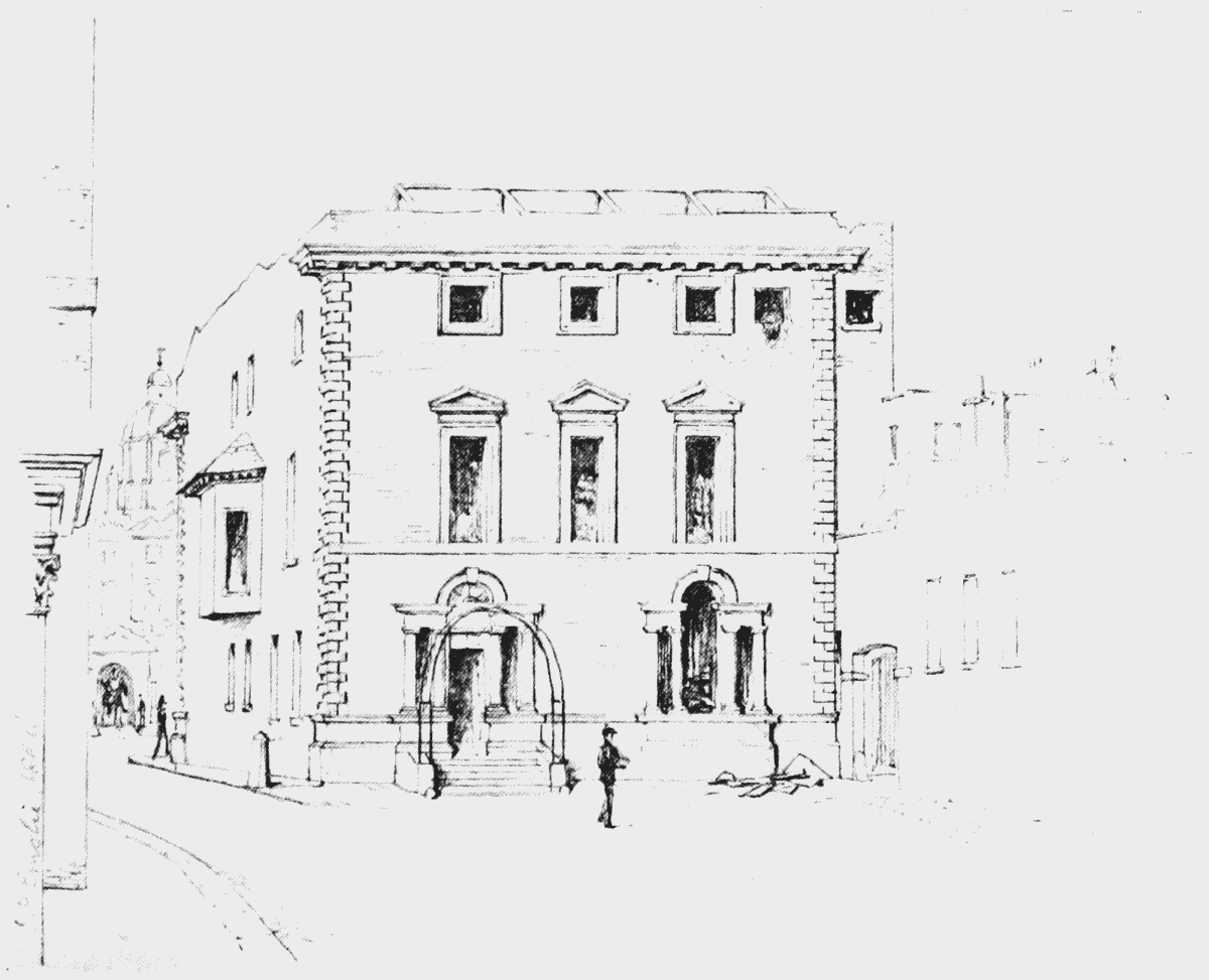
elevation to Whitehall Yard