Survey of London: Volume 16, St Martin-in-The-Fields I: Charing Cross. Originally published by London County Council, London, 1935.
This free content was digitised by double rekeying. All rights reserved.
'Plate 109: Nos. 8-10, Craig's Court, elevation and plan', in Survey of London: Volume 16, St Martin-in-The-Fields I: Charing Cross, ed. G H Gater, E P Wheeler (London, 1935), British History Online https://prod.british-history.ac.uk/survey-london/vol16/pt1/plate-109 [accessed 24 April 2025].
'Plate 109: Nos. 8-10, Craig's Court, elevation and plan', in Survey of London: Volume 16, St Martin-in-The-Fields I: Charing Cross. Edited by G H Gater, E P Wheeler (London, 1935), British History Online, accessed April 24, 2025, https://prod.british-history.ac.uk/survey-london/vol16/pt1/plate-109.
"Plate 109: Nos. 8-10, Craig's Court, elevation and plan". Survey of London: Volume 16, St Martin-in-The-Fields I: Charing Cross. Ed. G H Gater, E P Wheeler (London, 1935), British History Online. Web. 24 April 2025. https://prod.british-history.ac.uk/survey-london/vol16/pt1/plate-109.
In this section
(a) Nos. 8 AND 9, CRAIG'S COURT, ELEVATION FACING EAST;
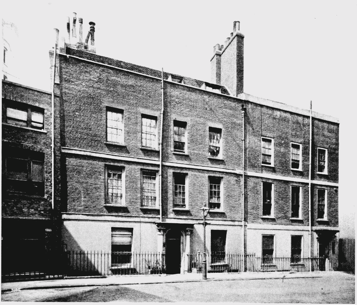
Nos. 8 and 9, Craig's Court, elevation facing east
(b) Nos. 8–10, CRAIG'S COURT, GROUND PLAN (p. 238)
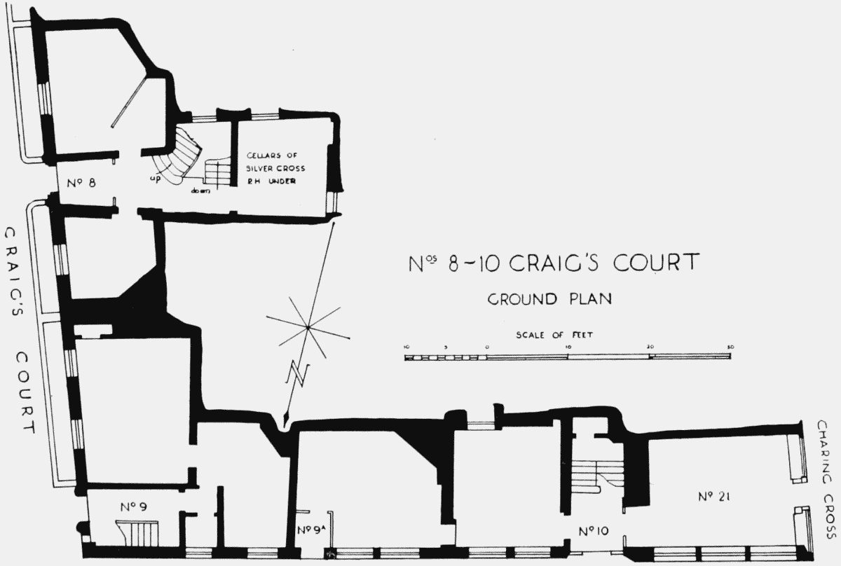
Nos. 8–10, Craig's Court, ground plan