Survey of London: Volume 14, St Margaret, Westminster, Part III: Whitehall II. Originally published by London County Council, London, 1931.
This free content was digitised by double rekeying. All rights reserved.
'Plate 117: No. 10, Downing Street, elevation and general view', in Survey of London: Volume 14, St Margaret, Westminster, Part III: Whitehall II, ed. Montagu H Cox, G Topham Forrest (London, 1931), British History Online https://prod.british-history.ac.uk/survey-london/vol14/pt3/plate-117 [accessed 4 April 2025].
'Plate 117: No. 10, Downing Street, elevation and general view', in Survey of London: Volume 14, St Margaret, Westminster, Part III: Whitehall II. Edited by Montagu H Cox, G Topham Forrest (London, 1931), British History Online, accessed April 4, 2025, https://prod.british-history.ac.uk/survey-london/vol14/pt3/plate-117.
"Plate 117: No. 10, Downing Street, elevation and general view". Survey of London: Volume 14, St Margaret, Westminster, Part III: Whitehall II. Ed. Montagu H Cox, G Topham Forrest (London, 1931), British History Online. Web. 4 April 2025. https://prod.british-history.ac.uk/survey-london/vol14/pt3/plate-117.
In this section
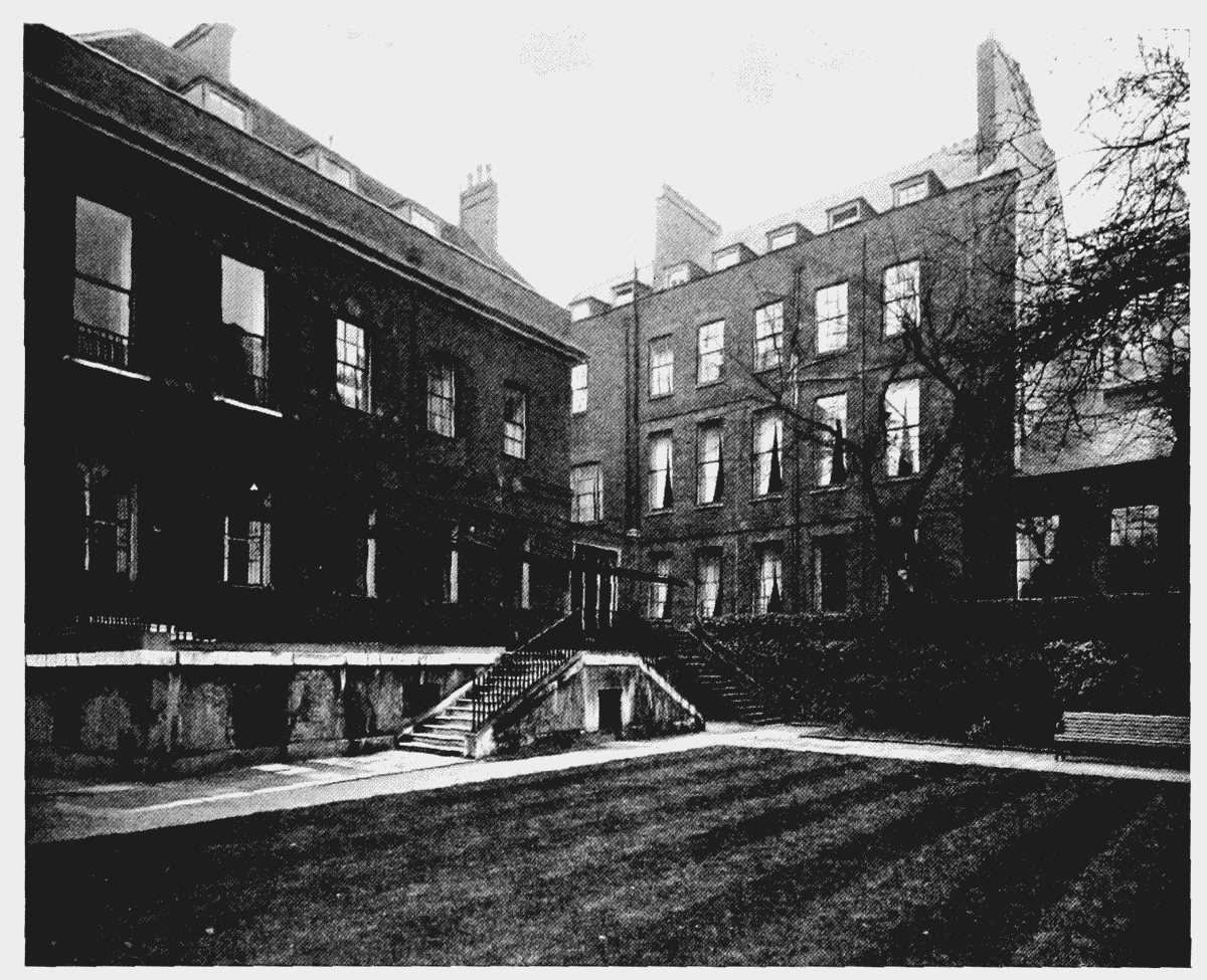
NO. 10, DOWNING STREET.
(a) NORTH ELEVATION TO GARDEN;
north elevation to garden
(b) GENERAL VIEW FROM GARDEN, LOOKING SOUTH-EAST

general view from garden looking south-east