An Inventory of the Historical Monuments in the County of Northamptonshire, Volume 2, Archaeological Sites in Central Northamptonshire. Originally published by Her Majesty's Stationery Office, London, 1979.
This free content was digitised by double rekeying. All rights reserved.
'Plan 1: Map', in An Inventory of the Historical Monuments in the County of Northamptonshire, Volume 2, Archaeological Sites in Central Northamptonshire(London, 1979), British History Online https://prod.british-history.ac.uk/rchme/northants/vol2/p1 [accessed 28 April 2025].
'Plan 1: Map', in An Inventory of the Historical Monuments in the County of Northamptonshire, Volume 2, Archaeological Sites in Central Northamptonshire(London, 1979), British History Online, accessed April 28, 2025, https://prod.british-history.ac.uk/rchme/northants/vol2/p1.
"Plan 1: Map". An Inventory of the Historical Monuments in the County of Northamptonshire, Volume 2, Archaeological Sites in Central Northamptonshire. (London, 1979), British History Online. Web. 28 April 2025. https://prod.british-history.ac.uk/rchme/northants/vol2/p1.
Map
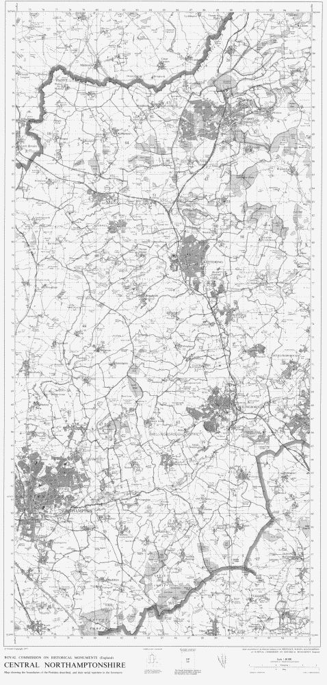
Central Northamptonshire