An Inventory of the Historical Monuments in the County of Northamptonshire, Volume 1, Archaeological Sites in North-East Northamptonshire. Originally published by Her Majesty's Stationery Office, London, 1975.
This free content was digitised by double rekeying. All rights reserved.
'Plate 11: Lowick, Maps of the Late 18th Century', in An Inventory of the Historical Monuments in the County of Northamptonshire, Volume 1, Archaeological Sites in North-East Northamptonshire(London, 1975), British History Online https://prod.british-history.ac.uk/rchme/northants/vol1/plate-11 [accessed 19 April 2025].
'Plate 11: Lowick, Maps of the Late 18th Century', in An Inventory of the Historical Monuments in the County of Northamptonshire, Volume 1, Archaeological Sites in North-East Northamptonshire(London, 1975), British History Online, accessed April 19, 2025, https://prod.british-history.ac.uk/rchme/northants/vol1/plate-11.
"Plate 11: Lowick, Maps of the Late 18th Century". An Inventory of the Historical Monuments in the County of Northamptonshire, Volume 1, Archaeological Sites in North-East Northamptonshire. (London, 1975), British History Online. Web. 19 April 2025. https://prod.british-history.ac.uk/rchme/northants/vol1/plate-11.
Lowick: Maps of the Late 18th Century
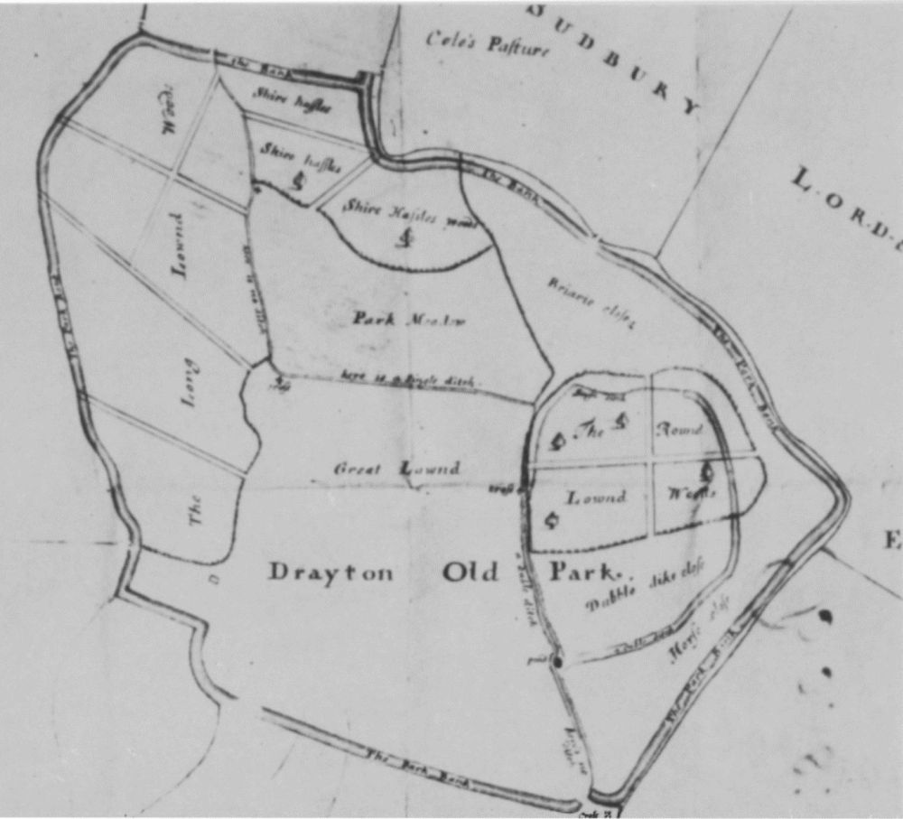

Lowick (5, 6, 7). Maps of the late 18th century showing the medieval deer park.