An Inventory of the Historical Monuments in Dorset, Volume 5, East. Originally published by Her Majesty's Stationery Office, London, 1975.
This free content was digitised by double rekeying. All rights reserved.
'Plate 87: Roman Roads', in An Inventory of the Historical Monuments in Dorset, Volume 5, East(London, 1975), British History Online https://prod.british-history.ac.uk/rchme/dorset/vol5/plate-87 [accessed 19 April 2025].
'Plate 87: Roman Roads', in An Inventory of the Historical Monuments in Dorset, Volume 5, East(London, 1975), British History Online, accessed April 19, 2025, https://prod.british-history.ac.uk/rchme/dorset/vol5/plate-87.
"Plate 87: Roman Roads". An Inventory of the Historical Monuments in Dorset, Volume 5, East. (London, 1975), British History Online. Web. 19 April 2025. https://prod.british-history.ac.uk/rchme/dorset/vol5/plate-87.
Roman Roads
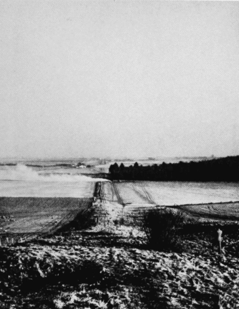
Road IV. Ackling Dyke. Looking N.E. towards Oakley Down (SU 015163).

Roads III and V crossing, N. of Badbury Rings. Air view from N.W. (ST 966034).
Road II (arrowed) traversing Eye Mead, Pamphill (SY 995995). Air view from E.