An Inventory of the Historical Monuments in Dorset, Volume 4, North. Originally published by Her Majesty's Stationery Office, London, 1972.
This free content was digitised by double rekeying. All rights reserved.
'Map 4', in An Inventory of the Historical Monuments in Dorset, Volume 4, North(London, 1972), British History Online https://prod.british-history.ac.uk/rchme/dorset/vol4/plate-4a [accessed 19 April 2025].
'Map 4', in An Inventory of the Historical Monuments in Dorset, Volume 4, North(London, 1972), British History Online, accessed April 19, 2025, https://prod.british-history.ac.uk/rchme/dorset/vol4/plate-4a.
"Map 4". An Inventory of the Historical Monuments in Dorset, Volume 4, North. (London, 1972), British History Online. Web. 19 April 2025. https://prod.british-history.ac.uk/rchme/dorset/vol4/plate-4a.
Map 4
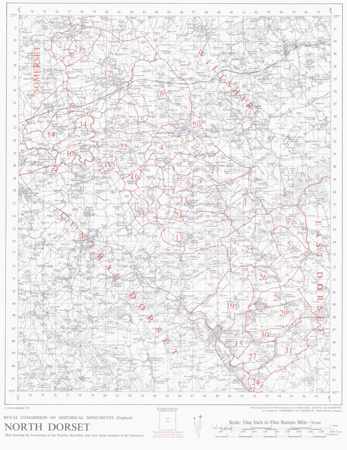
Royal Commission on Historical Monuments (England) North Dorset Map showing the boundaries of the Parishes described, and their serial numbers in the Inventory.