An Inventory of the Historical Monuments in the County of Cambridgeshire, Volume 1, West Cambridgshire. Originally published by Her Majesty's Stationery Office, London, 1968.
This free content was digitised by double rekeying. All rights reserved.
'Plate 113: Orwell. Early Maps', in An Inventory of the Historical Monuments in the County of Cambridgeshire, Volume 1, West Cambridgshire(London, 1968), British History Online https://prod.british-history.ac.uk/rchme/cambs/vol1/plate-113 [accessed 19 April 2025].
'Plate 113: Orwell. Early Maps', in An Inventory of the Historical Monuments in the County of Cambridgeshire, Volume 1, West Cambridgshire(London, 1968), British History Online, accessed April 19, 2025, https://prod.british-history.ac.uk/rchme/cambs/vol1/plate-113.
"Plate 113: Orwell. Early Maps". An Inventory of the Historical Monuments in the County of Cambridgeshire, Volume 1, West Cambridgshire. (London, 1968), British History Online. Web. 19 April 2025. https://prod.british-history.ac.uk/rchme/cambs/vol1/plate-113.
Orwell. Early Maps. Scale c.1″ to 470′ /?/

Detail of map, c. 1680.
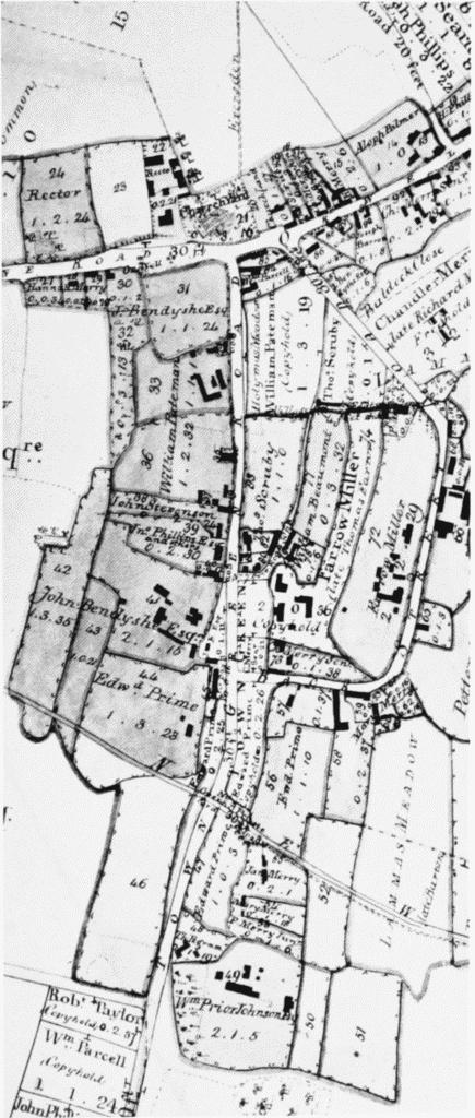
Detail of enclosure map, 1837.