Ancient and Historical Monuments in the County of Gloucester Iron Age and Romano-British Monuments in the Gloucestershire Cotswolds. Originally published by Her Majesty's Stationery Office, London, 1976.
This free content was digitised by double rekeying. All rights reserved.
'Notgrove', in Ancient and Historical Monuments in the County of Gloucester Iron Age and Romano-British Monuments in the Gloucestershire Cotswolds(London, 1976), British History Online https://prod.british-history.ac.uk/rchme/ancient-glos/pp88-91 [accessed 13 April 2025].
'Notgrove', in Ancient and Historical Monuments in the County of Gloucester Iron Age and Romano-British Monuments in the Gloucestershire Cotswolds(London, 1976), British History Online, accessed April 13, 2025, https://prod.british-history.ac.uk/rchme/ancient-glos/pp88-91.
"Notgrove". Ancient and Historical Monuments in the County of Gloucester Iron Age and Romano-British Monuments in the Gloucestershire Cotswolds. (London, 1976), British History Online. Web. 13 April 2025. https://prod.british-history.ac.uk/rchme/ancient-glos/pp88-91.
NOTGROVE
(12 miles N.N.E. of Cirencester)
'Stainbarrow Camp' is shown on Isaac Taylor's map of Gloucestershire (1777) as an oval enclosure, 1 mile N.W. of the village; it also appears on Bryant's map of 1824, where it is marked 'Scite of Stone Barrow or Turk's Hill Camp'. The site cannot now be identified.
A cinerary urn and other Roman pottery were found in the 19th century beneath St. Bartholomew's Church (SP 10931994). (fn. 1)
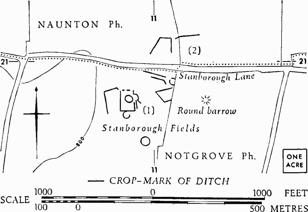
Monument (1) and Naunton (2) lie on either side of Stanborough Lane. In a charter reputedly of 8th-century date, (fn. 2) concerning grants of land at Aston Blank and Notgrove, this lane is called straet.

Notgrove. (1) Enclosures (p. 91).

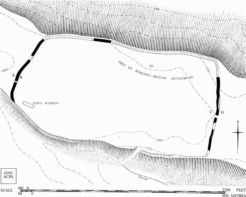
Northleach With Eastington. (1) Norbury Camp. (2) Romano-British Settlement.

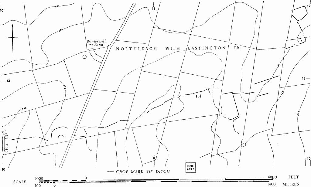
Northleach With Eastington. (3) Linear Ditches and Enclosures.
(1) Enclosures (SP 110209), undated, in Stanborough Fields, ½ mile N. of the village, show indistinctly as crop-marks over about 4½ acres of level ground between two low eminences. Each rectilinear enclosure appears to occupy about ½ acre. Other ditches, partly obscured by natural soil-marks, are visible as crop-marks 300 yds. to the south. Plan, p. 88.
N.M.R., OAP SP 1020/1/363–7.