Survey of London: Volume 2, Chelsea, Pt I. Originally published by London County Council, London, 1909.
This free content was digitised by double rekeying. All rights reserved.
Walter H Godfrey, 'Map of Chelsea (Plate 1): Map of Chelsea (1894-6)', in Survey of London: Volume 2, Chelsea, Pt I(London, 1909), British History Online https://prod.british-history.ac.uk/survey-london/vol2/pt1/plate-1 [accessed 6 February 2025].
Walter H Godfrey, 'Map of Chelsea (Plate 1): Map of Chelsea (1894-6)', in Survey of London: Volume 2, Chelsea, Pt I(London, 1909), British History Online, accessed February 6, 2025, https://prod.british-history.ac.uk/survey-london/vol2/pt1/plate-1.
Walter H Godfrey. "Map of Chelsea (Plate 1): Map of Chelsea (1894-6)". Survey of London: Volume 2, Chelsea, Pt I. (London, 1909), British History Online. Web. 6 February 2025. https://prod.british-history.ac.uk/survey-london/vol2/pt1/plate-1.
CHELSEA
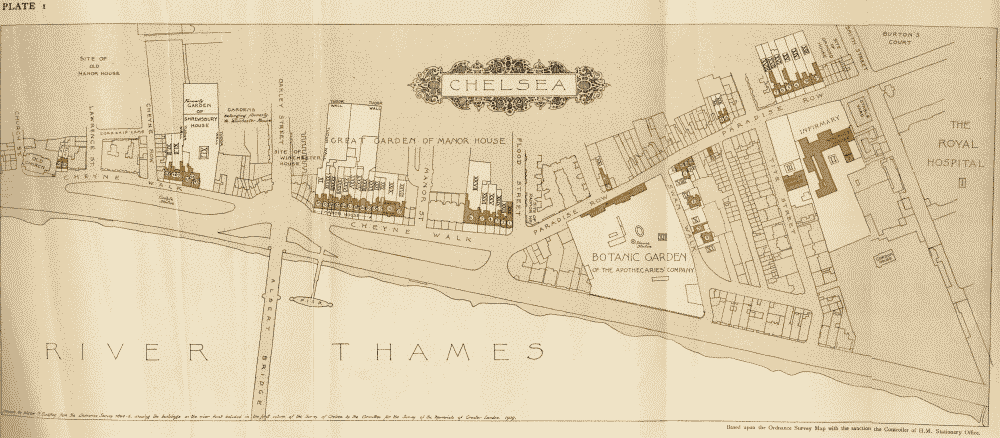
Map of Chelsea, from the Royal Hospital to the Old Church based on the Ordnance Survey (1894–6)