Survey of London: Volume 20, St Martin-in-The-Fields, Pt III: Trafalgar Square and Neighbourhood. Originally published by London County Council, London, 1940.
This free content was digitised by double rekeying. All rights reserved.
'Plate 37: King William IV Street, Adelaide Street and Strand', in Survey of London: Volume 20, St Martin-in-The-Fields, Pt III: Trafalgar Square and Neighbourhood, ed. G H Gater, F R Hiorns (London, 1940), British History Online https://prod.british-history.ac.uk/survey-london/vol20/pt3/plate-37 [accessed 9 February 2025].
'Plate 37: King William IV Street, Adelaide Street and Strand', in Survey of London: Volume 20, St Martin-in-The-Fields, Pt III: Trafalgar Square and Neighbourhood. Edited by G H Gater, F R Hiorns (London, 1940), British History Online, accessed February 9, 2025, https://prod.british-history.ac.uk/survey-london/vol20/pt3/plate-37.
"Plate 37: King William IV Street, Adelaide Street and Strand". Survey of London: Volume 20, St Martin-in-The-Fields, Pt III: Trafalgar Square and Neighbourhood. Ed. G H Gater, F R Hiorns (London, 1940), British History Online. Web. 9 February 2025. https://prod.british-history.ac.uk/survey-london/vol20/pt3/plate-37.
In this section
(a) CORNER OF KING WILLIAM IV STREET AND ADELAIDE STREET IN 1930
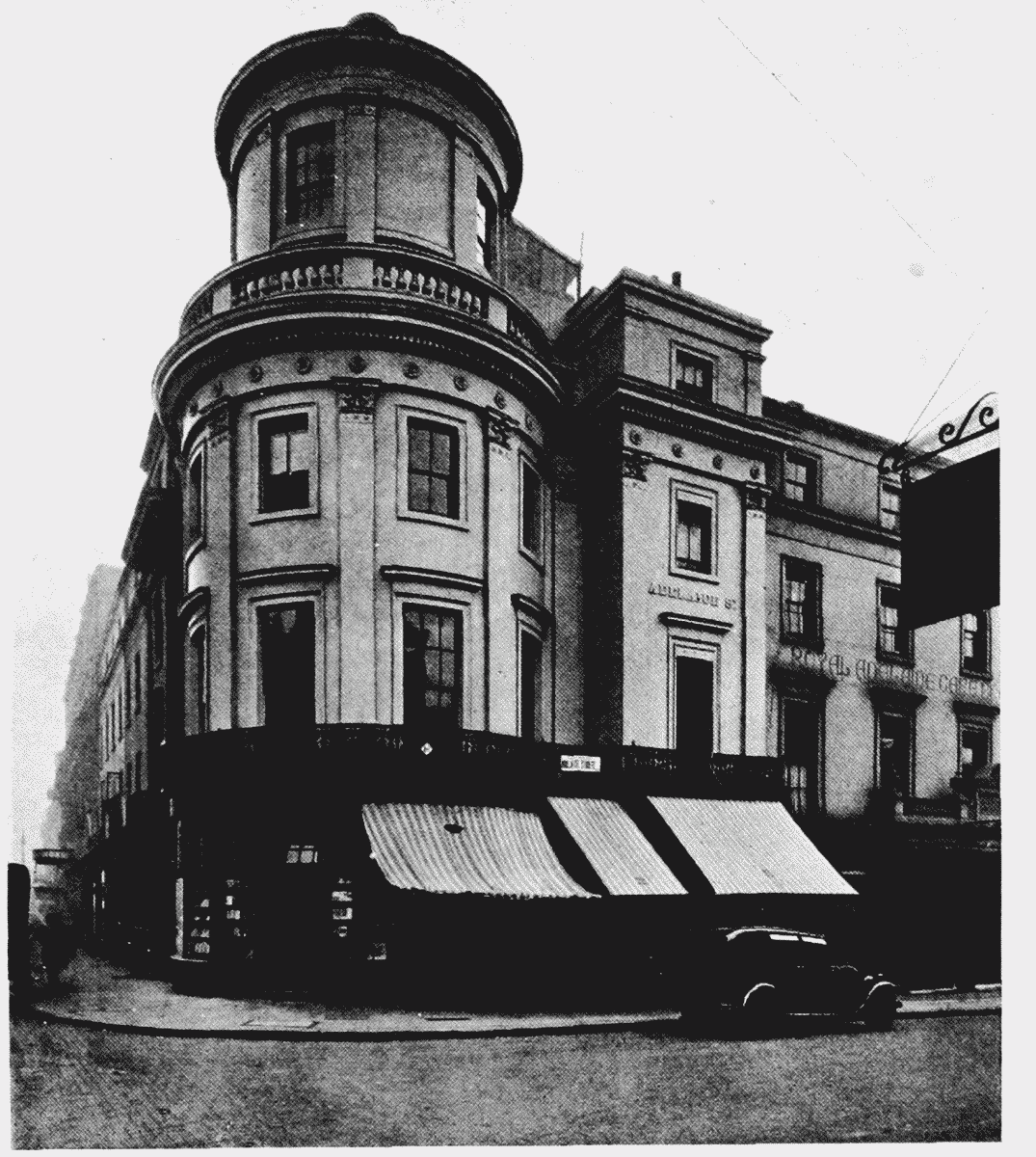
Corner of King Street and Adelaide Street in 1930
(b) Nos. 448 AND 449, STRAND, FACING SOUTHWEST, IN 1930
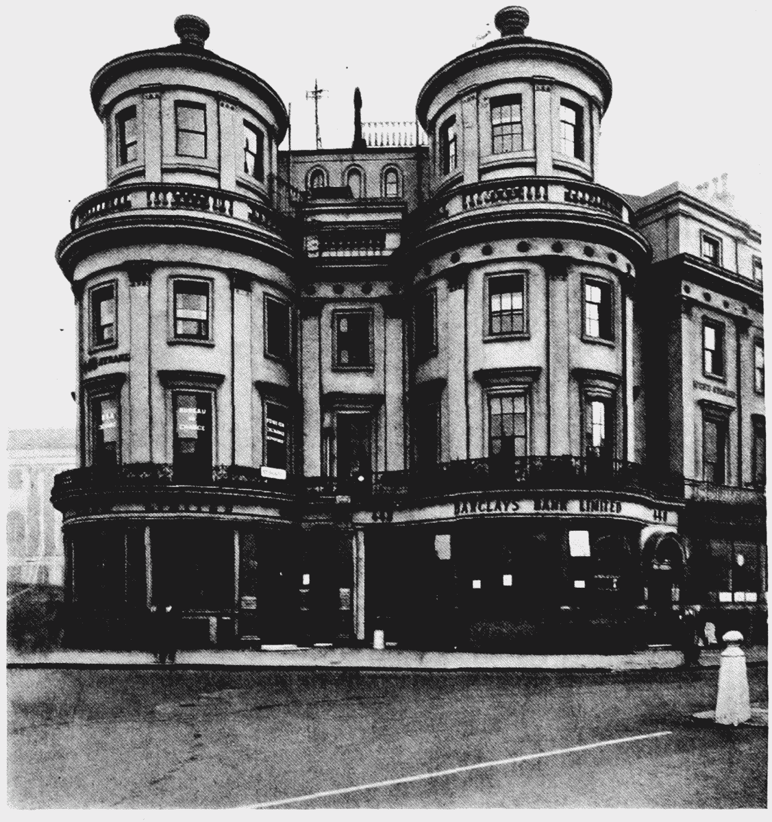
Nos. 448 and 449, Strand, facing south west, in 1930