Survey of London: Volume 20, St Martin-in-The-Fields, Pt III: Trafalgar Square and Neighbourhood. Originally published by London County Council, London, 1940.
This free content was digitised by double rekeying. All rights reserved.
'Plate 17: St. Martin's Church , section and elevation', in Survey of London: Volume 20, St Martin-in-The-Fields, Pt III: Trafalgar Square and Neighbourhood, ed. G H Gater, F R Hiorns (London, 1940), British History Online https://prod.british-history.ac.uk/survey-london/vol20/pt3/plate-17 [accessed 9 February 2025].
'Plate 17: St. Martin's Church , section and elevation', in Survey of London: Volume 20, St Martin-in-The-Fields, Pt III: Trafalgar Square and Neighbourhood. Edited by G H Gater, F R Hiorns (London, 1940), British History Online, accessed February 9, 2025, https://prod.british-history.ac.uk/survey-london/vol20/pt3/plate-17.
"Plate 17: St. Martin's Church , section and elevation". Survey of London: Volume 20, St Martin-in-The-Fields, Pt III: Trafalgar Square and Neighbourhood. Ed. G H Gater, F R Hiorns (London, 1940), British History Online. Web. 9 February 2025. https://prod.british-history.ac.uk/survey-london/vol20/pt3/plate-17.
In this section
(a) EAST ELEVATION
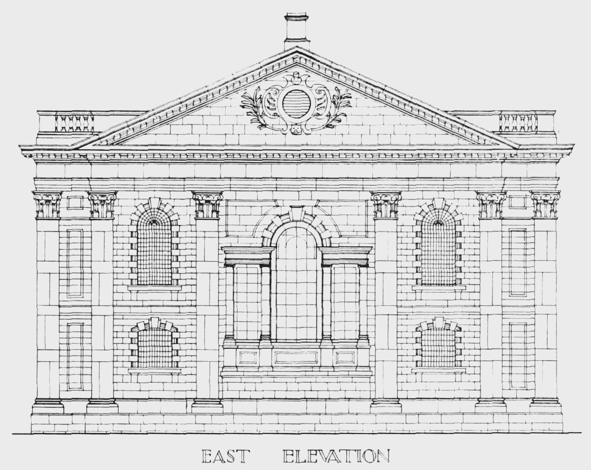
elevation of east end
(b) SECTION
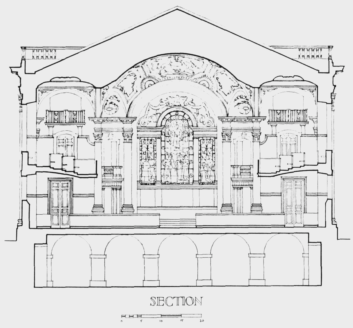
section of east end