Survey of London: Volume 16, St Martin-in-The-Fields I: Charing Cross. Originally published by London County Council, London, 1935.
This free content was digitised by double rekeying. All rights reserved.
'Plan pocket', in Survey of London: Volume 16, St Martin-in-The-Fields I: Charing Cross, ed. G H Gater, E P Wheeler (London, 1935), British History Online https://prod.british-history.ac.uk/survey-london/vol16/pt1/plan-pocket [accessed 26 February 2025].
'Plan pocket', in Survey of London: Volume 16, St Martin-in-The-Fields I: Charing Cross. Edited by G H Gater, E P Wheeler (London, 1935), British History Online, accessed February 26, 2025, https://prod.british-history.ac.uk/survey-london/vol16/pt1/plan-pocket.
"Plan pocket". Survey of London: Volume 16, St Martin-in-The-Fields I: Charing Cross. Ed. G H Gater, E P Wheeler (London, 1935), British History Online. Web. 26 February 2025. https://prod.british-history.ac.uk/survey-london/vol16/pt1/plan-pocket.
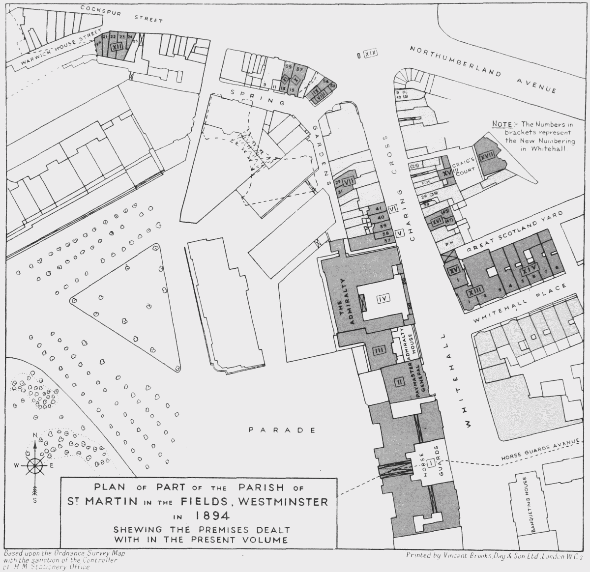
PLAN OF PART OF THE PARISH OF ST MARTIN IN THE FIELDS, WESTMINSTER IN 1894
SHEWING THE PREMISES DEALT WITH IN THE PRESENT VOLUME
Based upon the Ordnance Survey Map with the sanction of the Controller of H.M Stationery Office