Survey of London: Volume 42, Kensington Square To Earl's Court. Originally published by London County Council, London, 1986.
This free content was digitised by double rekeying. All rights reserved.
'Plate 35: Kensington High Street', in Survey of London: Volume 42, Kensington Square To Earl's Court, ed. Hermione Hobhouse (London, 1986), British History Online https://prod.british-history.ac.uk/survey-london/vol42/plate-35 [accessed 1 February 2025].
'Plate 35: Kensington High Street', in Survey of London: Volume 42, Kensington Square To Earl's Court. Edited by Hermione Hobhouse (London, 1986), British History Online, accessed February 1, 2025, https://prod.british-history.ac.uk/survey-london/vol42/plate-35.
"Plate 35: Kensington High Street". Survey of London: Volume 42, Kensington Square To Earl's Court. Ed. Hermione Hobhouse (London, 1986), British History Online. Web. 1 February 2025. https://prod.british-history.ac.uk/survey-london/vol42/plate-35.
In this section
Kensington High Street, South Side. Mostly demolished
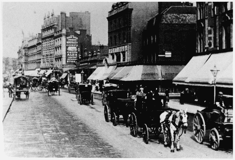
a. Looking east from Write's Lane in 1900.

Kensington High Street
Looking east from Write's Lane in 1900.
Pontings on right (p. 91), High Street Kensington Station in centre (p. 85)
b. Derry and Toms, frontage in 1929.

Kensington High Street
Derry and Toms, frontage in 1929.
Turret by F. E. Williams and Cox, architects, 1914 (p. 89)
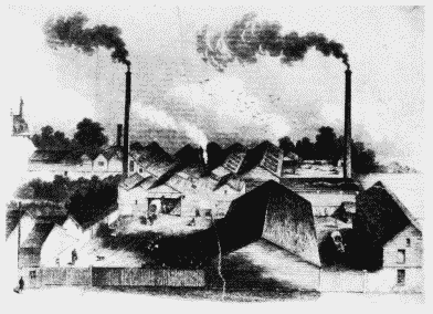
c. Candle manufactory of Francis Tucker and Company, c. 1858 (p. 81)

Kensington High Street
Candle manufactory of Francis Tucker and Company, c. 1858 (p. 81)
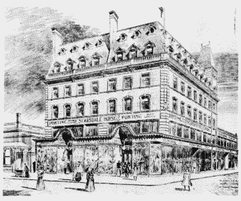
d. Pontings (Nos. 123-127 odd), proposed design by Arthur Sykes, 1899 (p. 92)

Kensington High Street
Pontings (Nos. 123-127 odd), proposed design by Arthur Sykes, 1899 (p. 92)
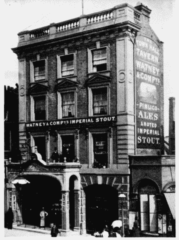
e. The Town Hall Tavern at No. 121 in c. 1890.

Kensington High Street
The Town Hall Tavern at No. 121 in c. 1890.
Formerly the Duke of Abercorn, built in 1868-9 (p. 85)
