Survey of London: Volume 41, Brompton. Originally published by London County Council, London, 1983.
This free content was digitised by double rekeying. All rights reserved.
'Plate 14: Brompton Road', in Survey of London: Volume 41, Brompton, ed. F H W Sheppard (London, 1983), British History Online https://prod.british-history.ac.uk/survey-london/vol41/plate-14 [accessed 1 February 2025].
'Plate 14: Brompton Road', in Survey of London: Volume 41, Brompton. Edited by F H W Sheppard (London, 1983), British History Online, accessed February 1, 2025, https://prod.british-history.ac.uk/survey-london/vol41/plate-14.
"Plate 14: Brompton Road". Survey of London: Volume 41, Brompton. Ed. F H W Sheppard (London, 1983), British History Online. Web. 1 February 2025. https://prod.british-history.ac.uk/survey-london/vol41/plate-14.
In this section
Late Victorian and Edwardian Brompton Road. demolished
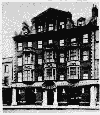
a. (above left). Nos. 70-74 (even) in 1903.

Nos. 70–74 (even) Brompton Road in 1903.
(above left). Nos. 70-74 (even) in 1903.
F. E. Williams, architect, 1896 (p. 35)
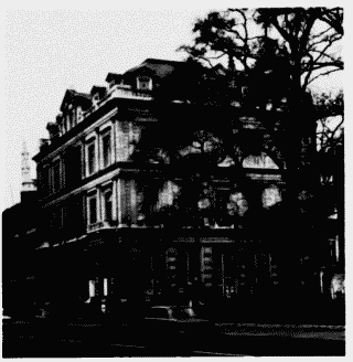
b. (center left). No. 200 Brompton Road (former London and Westminster Bank) in 1969.

Nos. 70–74 (even) Brompton Road in 1903.
(center left). No. 200 Brompton Road (former London and Westminster Bank) in 1969.F.W. Porter,architect,1881(p.45)
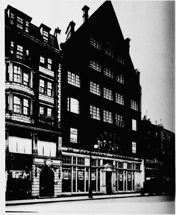
c. (above). No. 58a in 1909. Architect unknown, 1890 (p. 35).

Nos. 70–74 (even) Brompton Road in 1903.
(above). No. 58a in 1909. Architect unknown, 1890 (p. 35).
On left, part of Nos. 60-64 (even), R. A. Briggs, architect, 1905-6
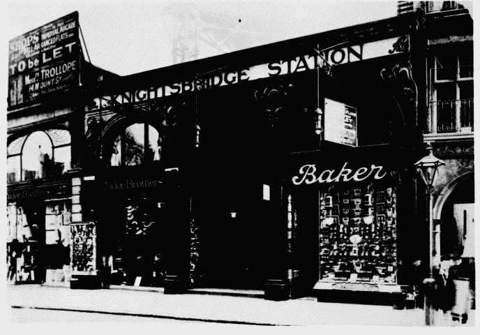
d. (left). Knightsbridge Station at Nos. 29-31 (odd) in c. 1906.

Nos. 70–74 (even) Brompton Road in 1903.
(left). Knightsbridge Station at Nos. 29-31 (odd) in c. 1906.
Leslie W. Green, architect, 1903-5 (p. 13)
