Survey of London: Volume 26, Lambeth: Southern Area. Originally published by London County Council, London, 1956.
This free content was digitised by double rekeying. All rights reserved.
'Plate 11', in Survey of London: Volume 26, Lambeth: Southern Area, ed. F H W Sheppard (London, 1956), British History Online https://prod.british-history.ac.uk/survey-london/vol26/plate-11 [accessed 11 February 2025].
'Plate 11', in Survey of London: Volume 26, Lambeth: Southern Area. Edited by F H W Sheppard (London, 1956), British History Online, accessed February 11, 2025, https://prod.british-history.ac.uk/survey-london/vol26/plate-11.
"Plate 11". Survey of London: Volume 26, Lambeth: Southern Area. Ed. F H W Sheppard (London, 1956), British History Online. Web. 11 February 2025. https://prod.british-history.ac.uk/survey-london/vol26/plate-11.
In this section
a. St. Mark's Kennington, 1822-4
St. Mark's Church, Kennington, north-west front.
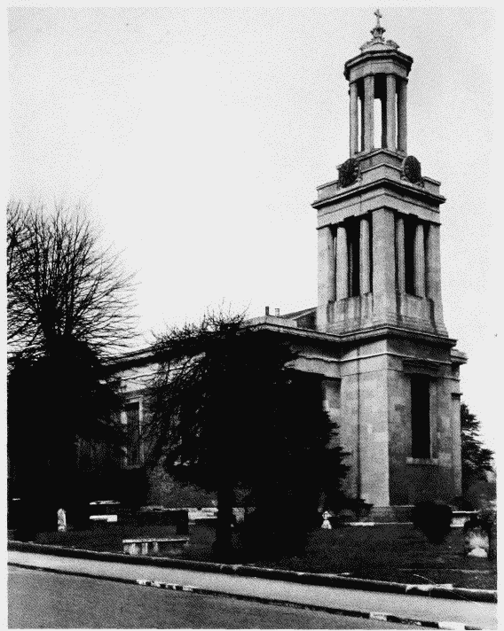
St. Luke's, West Norwood, 1822-5.
D. R. Roper, architect (p. 31) North-west front
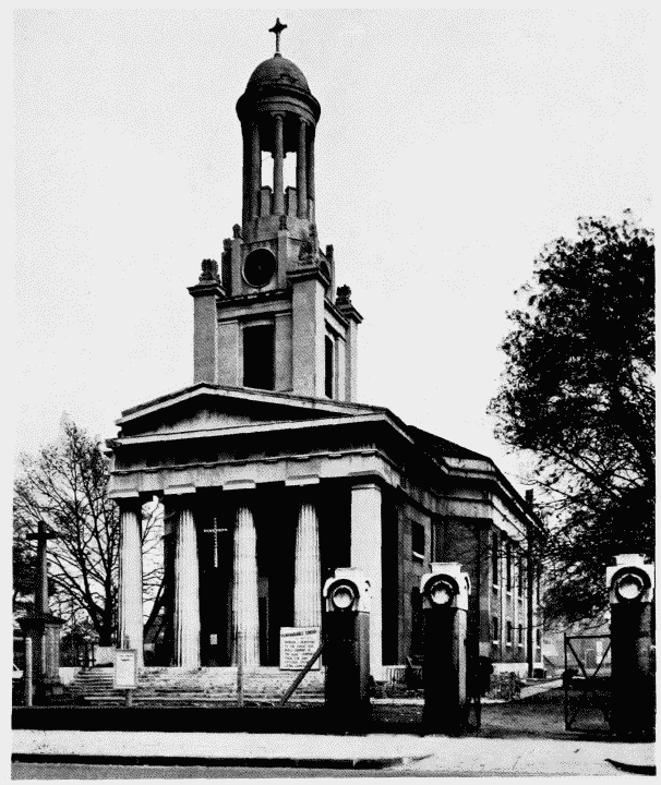
b. St. Matthew's Brixton, 1822-4.
St. Matthew's Church, Brixton, south-east view.
St. Matthew's Brixton, 1822-4.
C. F. Porden, architect (p. 132). South-east view